
Bower Lane
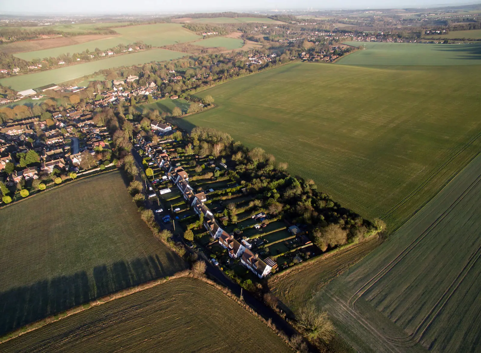
A drone survey of a greenfield site that can't be seen from the road.
Land and development sites: drone surveys, elevated photography, CGI, hoardings and launch branding.
Development sites have to be marketed before there's anything to see. We survey land by drone and mast, record the build from the air, render the finished scheme in CGI, and dress the site with hoardings and boards that sell it while it's built.
Boundaries, plots and access, shown from the air.
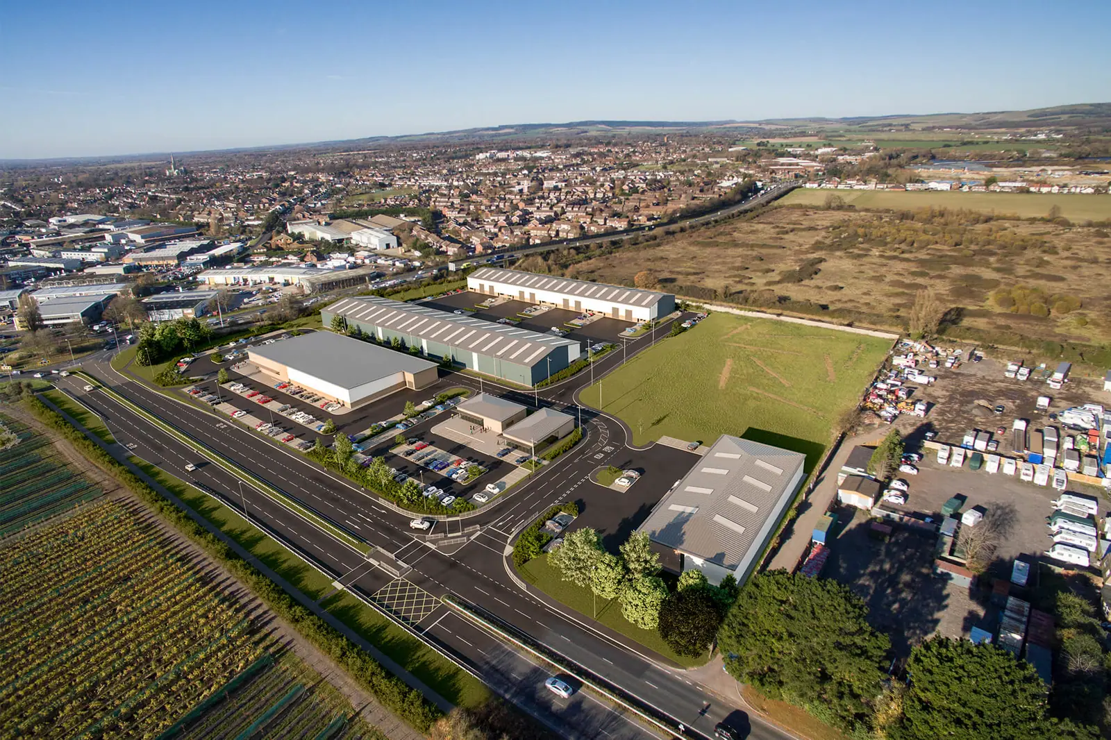
The finished scheme set into real site photography.
Development hoarding graphics and 'coming soon' boards.
From foundations to completion, documented for the agents and the client.
Services we use most here
A drone survey of a greenfield site that can't be seen from the road.
Drone photography that became both the brochure and the CGI of the scheme.
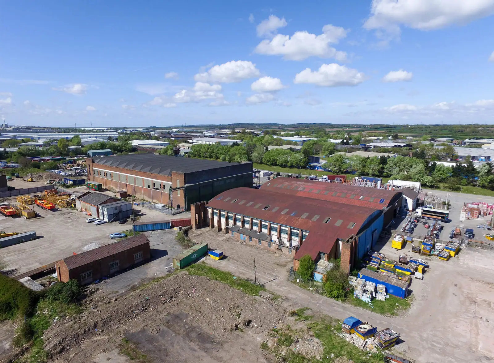
A rebrand, brochures and signage to launch a development site on the Welsh border.
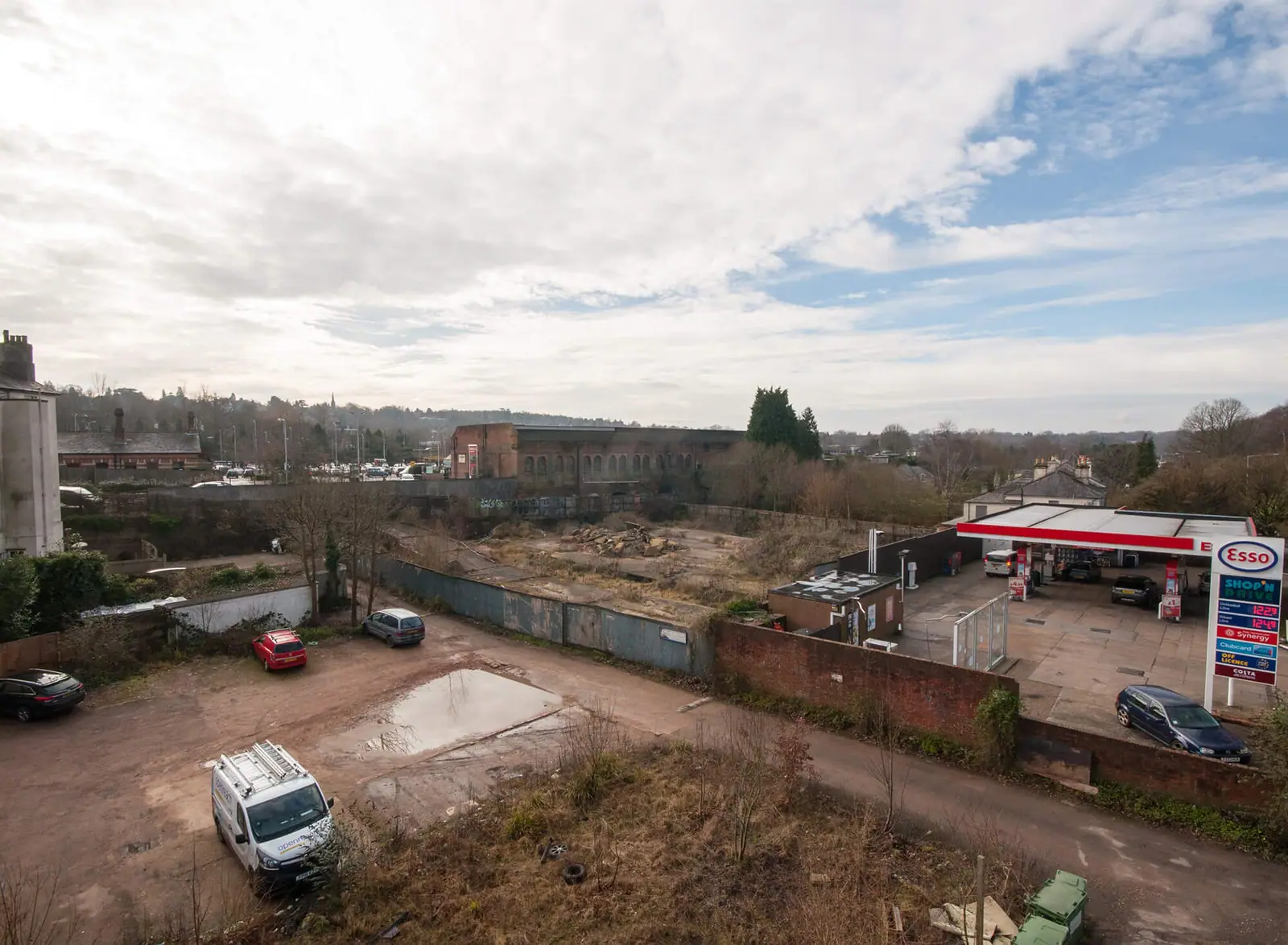
Elevated mast photography that revealed a hidden town-centre development site.
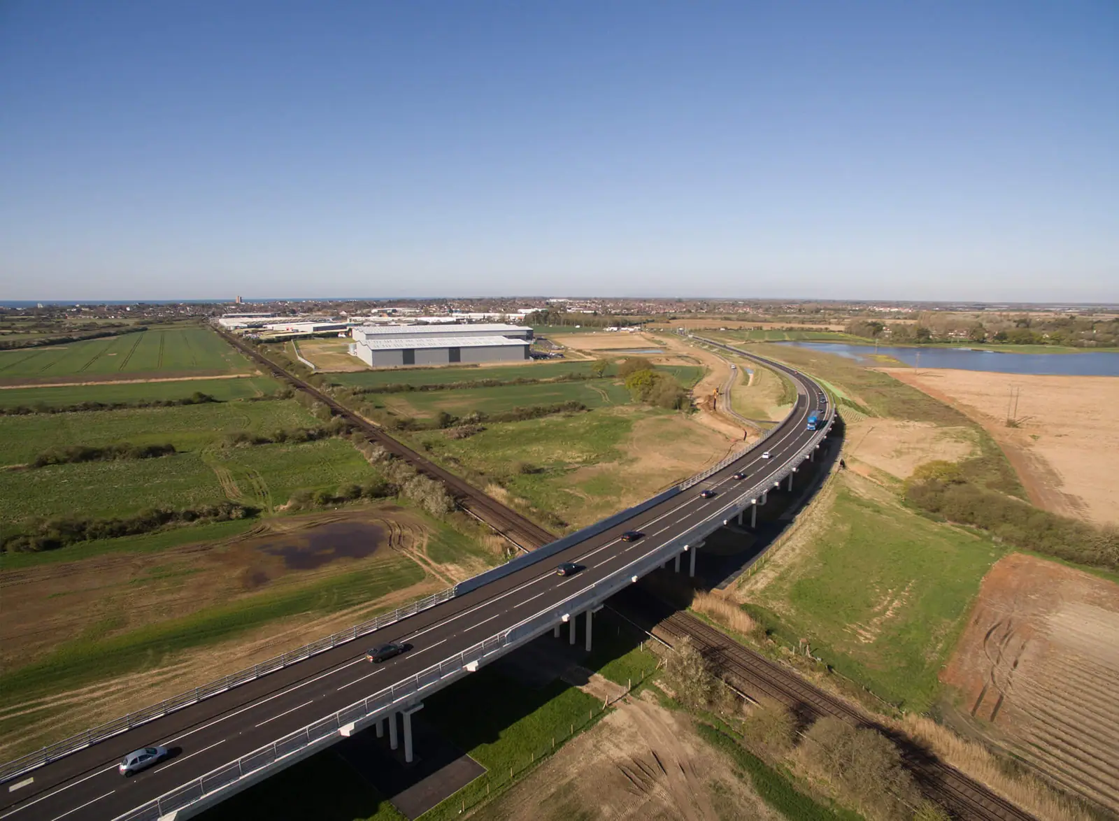
A drone survey of a development site beside the new A259 bypass, used in a two-page brochure.
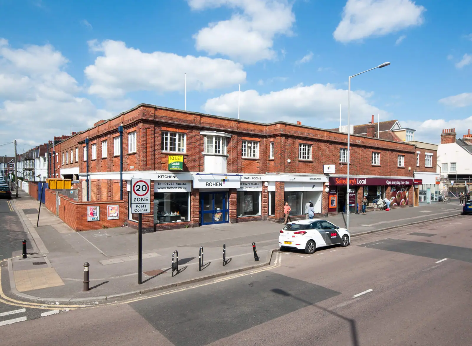
A brochure for a mixed retail and residential opportunity, with elevated photography for CGI.
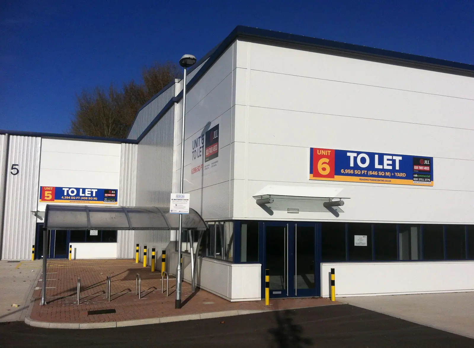
A new estate brand, photo marketing boards and estate signs on the A33.
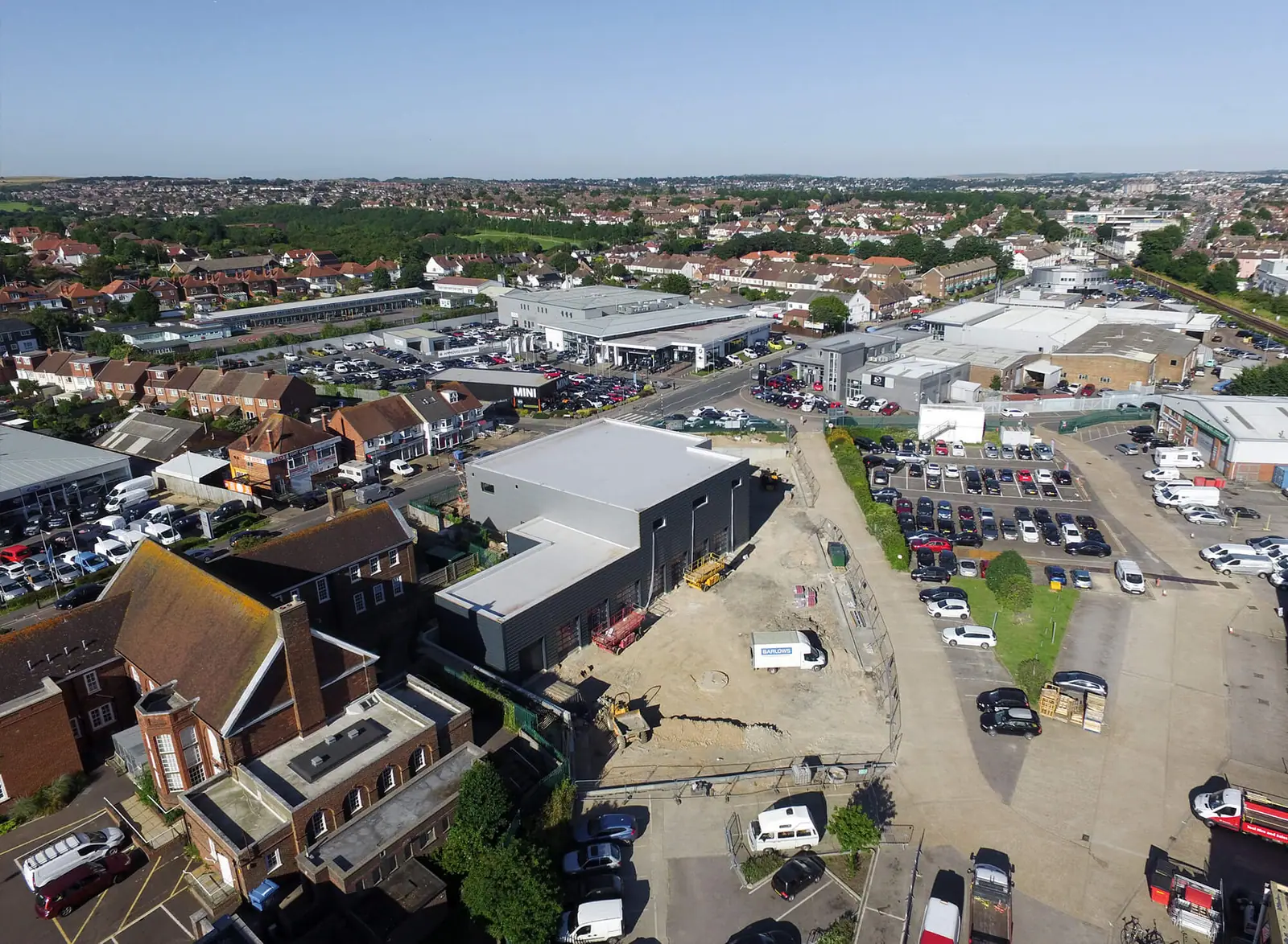
Aerial photography recording a new HQ and showroom, from foundations to completion.
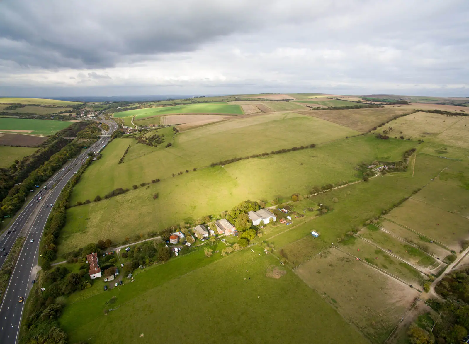
Drone photography showing plot boundaries and availability on a greenfield site by the A23.
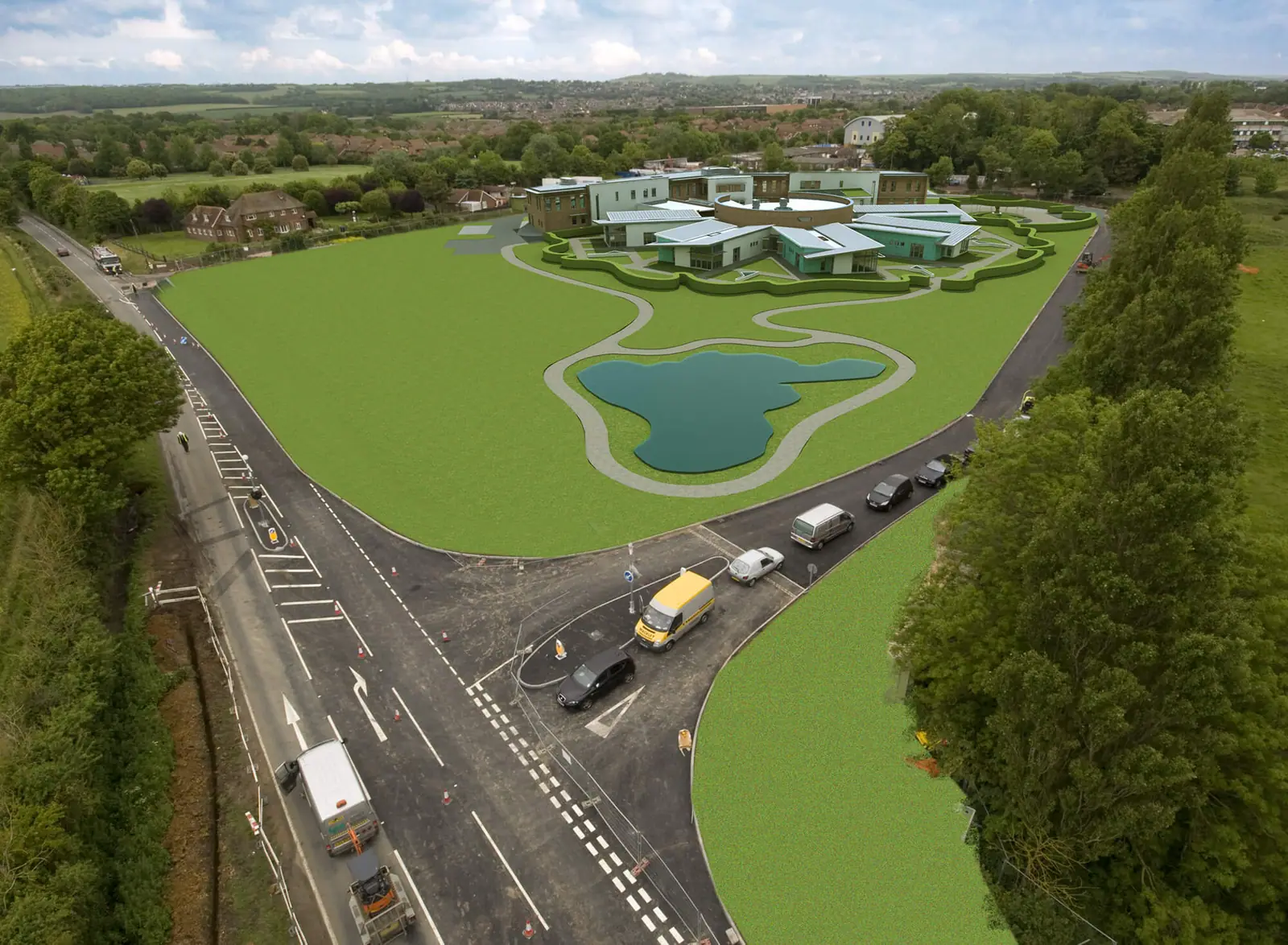
Elevated photography recording a new wellness centre's build, plus a CGI of the finished site.
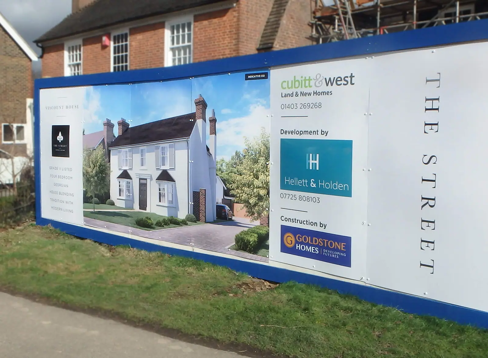
Hoarding graphics to market a residential development.
Tell us about it. We'll design it, make it, install it and shoot it.